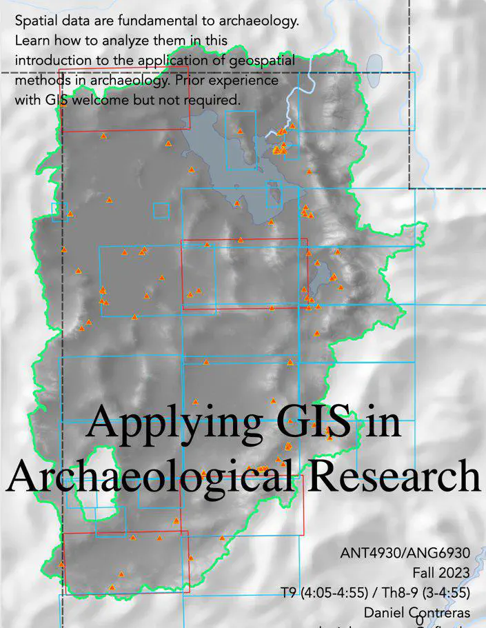
Applying GIS in Archaeological Research
 .
.In completing this course, students develop:
- Theoretical background on the applications of spatial variation, geospatial technologies, and GIS in archaeology.
- Fluency with geospatial methods, particularly the use of GIS, and a foundation from which to further self-teach.
- Familiarity with the acquisition (particularly of publicly-available data), management, and analysis of archaeological data that have a spatial component.
- Ability to produce polished products (including, but not limited to, maps) that communicate arguments based on geospatial data.